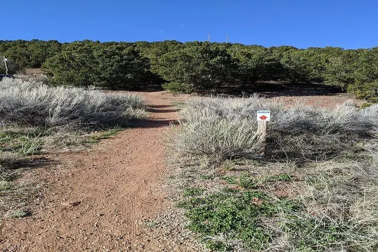
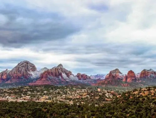
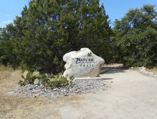
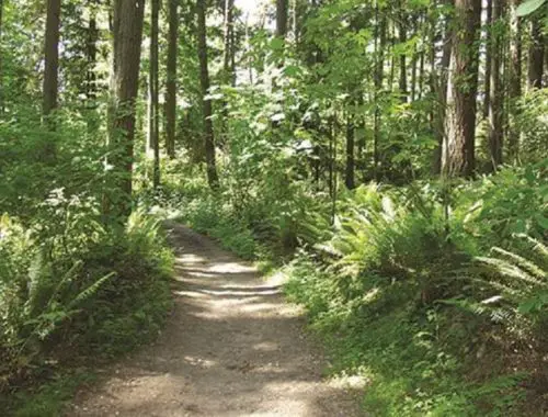
Dale Ball Trails are located just outside Santa Fe, New Mexico. Hikers can experience different trail difficulties and terrain on this multi-trail system, walking through juniper, pinyon pine, yucca, and cholla cactus. Your breath will be taken away by colorful rock formations and wildflowers.
This trail system can be confusing for first-timers. With multiple trailheads and a wide variety of path options, it may not be a bad idea to stop by the Santa Fe Visitor Center, 210 W. Marcy St., before heading out. You can talk to staff and pick up paper trail maps.
Trailhead
Dale Ball Trails is a massive system of interconnected trails with multiple trailheads. Cerro Gordo is a popular trailhead, providing access to the central and more challenging sections.
You can find more trailhead locations and other information on Dale Ball Trails at the Sante Fe Conservation Trust website.
Route Type
Dale Ball Trails is a trail system comprised of many route types like out-and-backs, loops, and point-to-points.
Distance
Dale Ball Trails is a 24.4-mile interconnecting trail system.
Difficulty
You can experience everything from a simple stroll through pines to an extremely-difficult hike up Atalaya Mountain in the Dale Ball Trails system. There are extremes either way but expect a moderately challenging hike on average.
Elevation
The baseline elevation starts on the high side. Exercise caution if you are a less experienced hiker. You can achieve the highest elevation gain by going to the peak of Atalaya Mountain. On one trail, you will climb more than 1,500 feet in just a few miles. There are multiple sections of the trail with high elevation gain, so plan your hike accordingly.
Hike Time
Hiking time varies significantly depending on which trails you choose to hike. You can spend less than an hour or multiple days on the trails.
Gear / To Bring
Water, sunblock, and UV-protective clothing are essential on Dale Ball Trails. There isn’t much sun coverage here, and hikers can dehydrate faster at higher altitudes than on trails closer to sea level.
Adventurers should wear sturdy hiking boots. The trails are rocky and sandy and can get muddy in the spring as the snow melts. Trekking poles or a stout stick may help navigate more challenging sections.
Pets
Pets are allowed on all Dale Ball Trails, provided they are on leashes. It isn’t uncommon to come across rattlesnakes, coyotes, and wild dogs out here, so it is highly recommended to follow this rule.
Bikes
Mountain bikes are allowed on Dale Ball Trails.
Fees
There is no fee to hike Dale Ball Trails.
Parking
Parking is available at Dorothy Stewart Trailhead, St. John’s Trailhead, and Wilderness Gate Trailhead on Camino Cruz Blanca, the closest parking to access Santa Fe National Forest’s Atalaya Trail.
Best Seasons to Hike
Santa Fe experiences good hiking weather year-round. The temperatures and wildflower viewing are best in late spring and early summer.
Reviews
Hikers have given this hiking area great reviews. The Dale Ball trails are a well-shaded, short series of paths with a fantastic view of Santa Fe. One reviewer suggests downloading a map of the hiking area to keep track of the many connecting trails.
Check out these articles to learn about other popular hiking trails:
- Adams Canyon Trail
- Aiea Loop Trail
- Ancient Lakes Trail
- Batteries to Bluffs Trail
- Big Falls Trail
- Bridle Trails State Park
- Calico Basin Trail
- Cochran Shoals Trail
- Craven Gap Trail
- Devastation Trail
- Donut Falls Trailhead
- East Palisades Trail
- Endless Wall Trail
- Judd Trail
- Holy Jim Trail
- Hummingbird Trail
- Kuilau Ridge Trail
- Kuliouou Ridge Trail
- Lake Clementine Trail
- Lost Valley Trail
- Mahana Ridge Trail
- Makiki Valley Trail
- Marymere Falls Trail
- Monkey Trail
- Munds Wagon Trail
- Murray Canyon Trail
- Peters Canyon Hiking Trail
- Pink Pillbox Hike
- Point Bonita Trail
- Poo Poo Point Trailhead
- Red Reef Trail
- River Place Nature Trail
- Tahquitz Canyon Trail
- Trail Canyon Falls
- Waterfall Hikes
- Wave Cave Trail
- Wiliwilinui Ridge Trail
